
by Elizabeth Baron | Apr 22, 2024 | Ecological and Watersheds, Land Surveying, Project
North American River Otter’s habitat @ The Erie Zoo Erie, Pennsylvania Otter exhibit expansion and renovation to meet updated requirements for size and habitat. CT worked closely with the Erie Zoo and the design team from Roth Marz Partnership to provide survey and...
by Elizabeth Baron | Apr 22, 2024 | Ecological and Watersheds, Land Surveying, Project
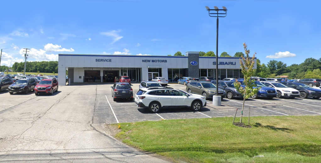
New Motors Subaru Building Service Addition Erie, Pennsylvania This 2-acre expansion is on an existing site that is partially developed with an existing building while the other half is wooded. The planned improvements include an additional asphalt parking lot,...

by Elizabeth Baron | Jan 19, 2024 | Ecological and Watersheds, Project
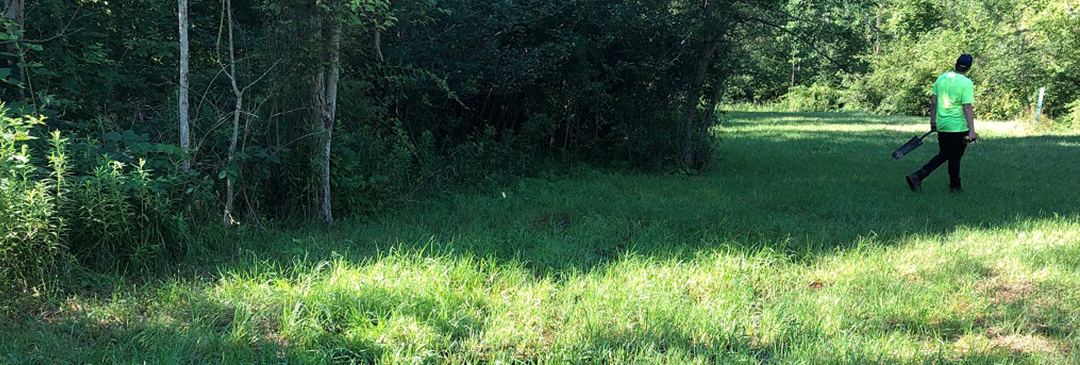
Ecological Projects in Erie, PA Erie, Pennsylvania Let CT’s experts provide guidance on your next project and evaluate ecological components of any proposed project. CT’s environmental science, water, and ecological experts continue to provide services to our...
by Elizabeth Baron | Jan 2, 2022 | Ecological and Watersheds, Project
Manorbrook Stream Restoration South Russell, Ohio The project’s purpose is to restore the existing 992 lf of the headwater stream channel that is impacted by channelization, hydrologic disconnection, and urban development. Also included in the project is the...
by Elizabeth Baron | Jan 2, 2022 | Ecological and Watersheds, Municipal Engineer, Project, Stormwater
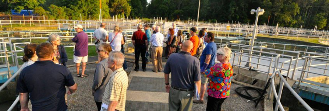
Integrated Wet Weather Improvement Program Lakewood, Ohio Regulatory roadmap for cost-effective environmental and public health improvements for Clean Water Act Compliance. The City of Lakewood selected CT as the prime consultant for the development of the city’s...
by Elizabeth Baron | Jan 2, 2022 | Ecological and Watersheds, Landscape Architecture, Project
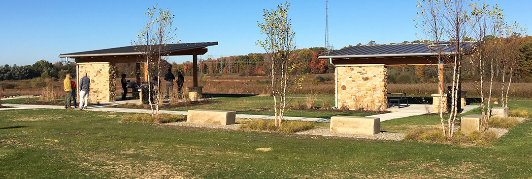
Frohring Meadows Park Enhancements Geauga County, Ohio Features a new parking area with a bioretention basin, two picnic shelters, a small plaza with seating and a fire pit, a small restroom, and new trails to complement the existing park. The two new picnic shelters...
