by Elizabeth Baron | Jan 1, 2022 | Land Surveying, Project
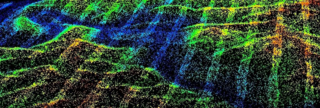
Aerial Photography and Airborne LiDAR Set the Stage for Community’s Planning Needs Wheeling, West Virginia CT’s geospatial team performed aerial photography and airborne LiDAR for the City of Wheeling, WV, and the surrounding area covering nearly 30 square miles....

by Elizabeth Baron | Jan 1, 2022 | Land Surveying, Project
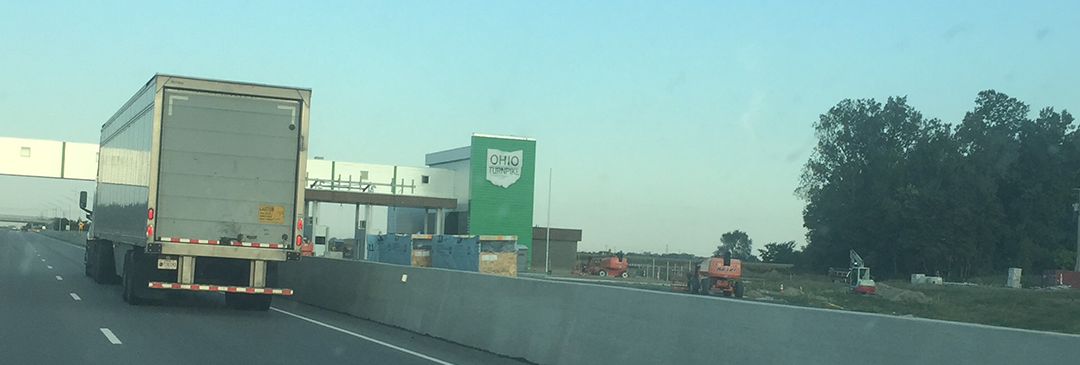
Aerial and Mobil LiDAR Aids Design of Ohio Turnpike Improvements Various, Ohio The single digital delivery format was AutoCAD Civil 3D to OTIC CAD Standards, meeting the four-month project schedule. This project involved mapping of 60 miles of the Ohio Turnpike for...


